Explore the DeSTs
Click on the links below to learn more about each DeST, their TAGs and to gain direct access to the respective DeST
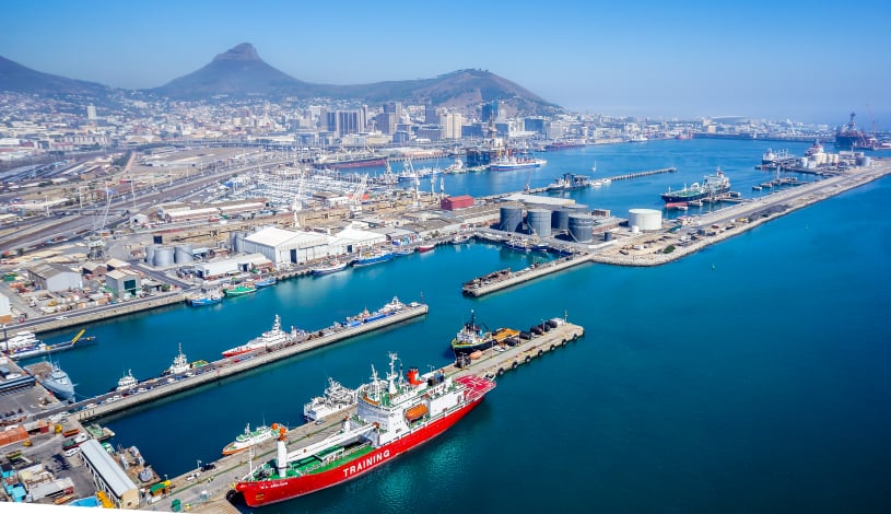
Coastal Viewer
View marine and coastal spatial data from various custodians and perform basic spatial queries.
Contact us to contribute data.
Marine Spatial Planning
Decision Support Tool for Marine Spatial Planning activities in terms of the Marine Spatial Planning Act (Act no. 16 of 2018).
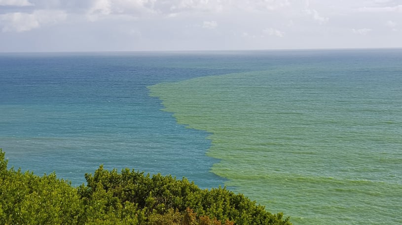
Aquaculture and Fisheries Support
A satellite remote-sensing product showing where algal blooms are occurring.
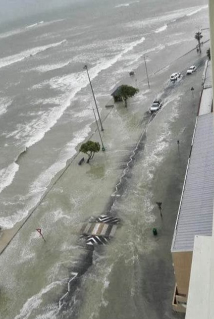
Coastal Flood Hazard
Bathtub-based flood model allowing users to incrementally 'drown your town', which is useful for risk scenario planning.