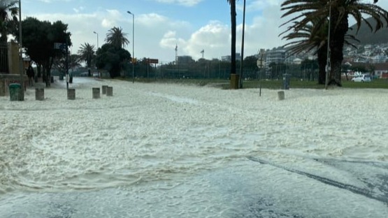
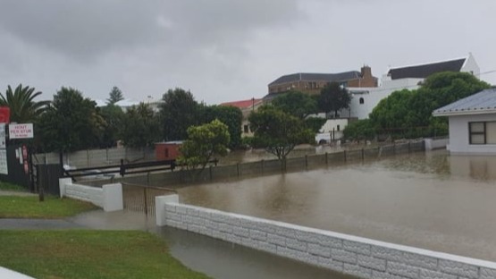
Coastal Flood Hazard

What is the purpose of the Coastal Flood Hazard DeST?

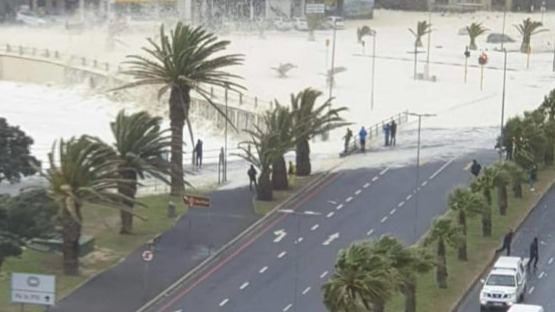
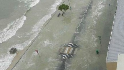
Based on the data available for South Africa, the Coastal Flood Hazard DeST aims to provide a means to for disaster managers, spatial planners and the general public to estimate the coastal areas that are potentially at risk of flooding. The development of this DeST has been inspired by other internationally available tools, such as the Coastal Risk Australia Viewer and the Sea Level Rise Viewer in the United States of America, just to name a few

This DeST uses static data, allowing users to 'drown your town'. It does not consider dynamic parameters such as wind speed, wave height etc. that may influence the impact of coastal waters on the terrestrial environment. Further research in this regard is underway.

Please feel free to contact us if you are interested in joining the Coastal Flood Hazard Technical Advisory Group (TAG) or if you have any suggestions for improvement.
Benefits

No GIS skills required

Simply use the slider to drown your town. 

Web-based environment

As a web-based system, users do not need to install any GIS software to interact with spatial data. 

Data is safe

The data cannot be edited or altered in any way

Mobile friendly 

The viewer is compatible with multiple devices and operating systems.

Contributors

  1. LiDAR data providers
    We make use of LiDAR data to produce the elevation models for this DeST, these providers may include national, provincial and local government departments and any private entities who are willing to contribute
  2. DFFE
    The GIS-based bathtub model was produced in-house by the DFFE and is being updated as technologies advance
  3. Everyone else
    NGOs, NPOs, citizen groups and anyone interested in contributing their data

Frequently asked questions

  • Can I use the DeST to create a scenario based on real parameters?
    No, the DeST is 'static' and does not accept any input parameters of dynamic data such as wind speed, water level etc. The outputs rendered only considers the increase in water level above mean sea level.
  • What is a bathtub model?
    A bathtub model is commonly used in GIS to depict elevations below a given threshold that may be flooded during a storm event or due to sea level rise. It only considers elevation and does not take dynamic variables into account.
  • What is the benefit of a bathtub model?
    The bathtub model is not scenario based and can therefore show, based on the ground elevation and independent of dynamic variables, areas that may be prone to flooding. Knowing where susceptible areas can help in planners implement mitigation measures before events occur. It may also inform medium and long term planning.
  • Are there other models that use dynamic variables?
    Yes, have a look at the Coastal Operations at Sea DeST that relies on operational ocean models. 
Mobirise Website Builder

© Copyright 2024 DFFE. All Rights Reserved.

HTML Maker